Hôtel Continental
Hôtel Restaurant au Centre de Reims
Partager une expérience mémorable, durable, orchestrée par une équipe plurielle, respectueuse du bien-être, de la transmission et de l'environnement.
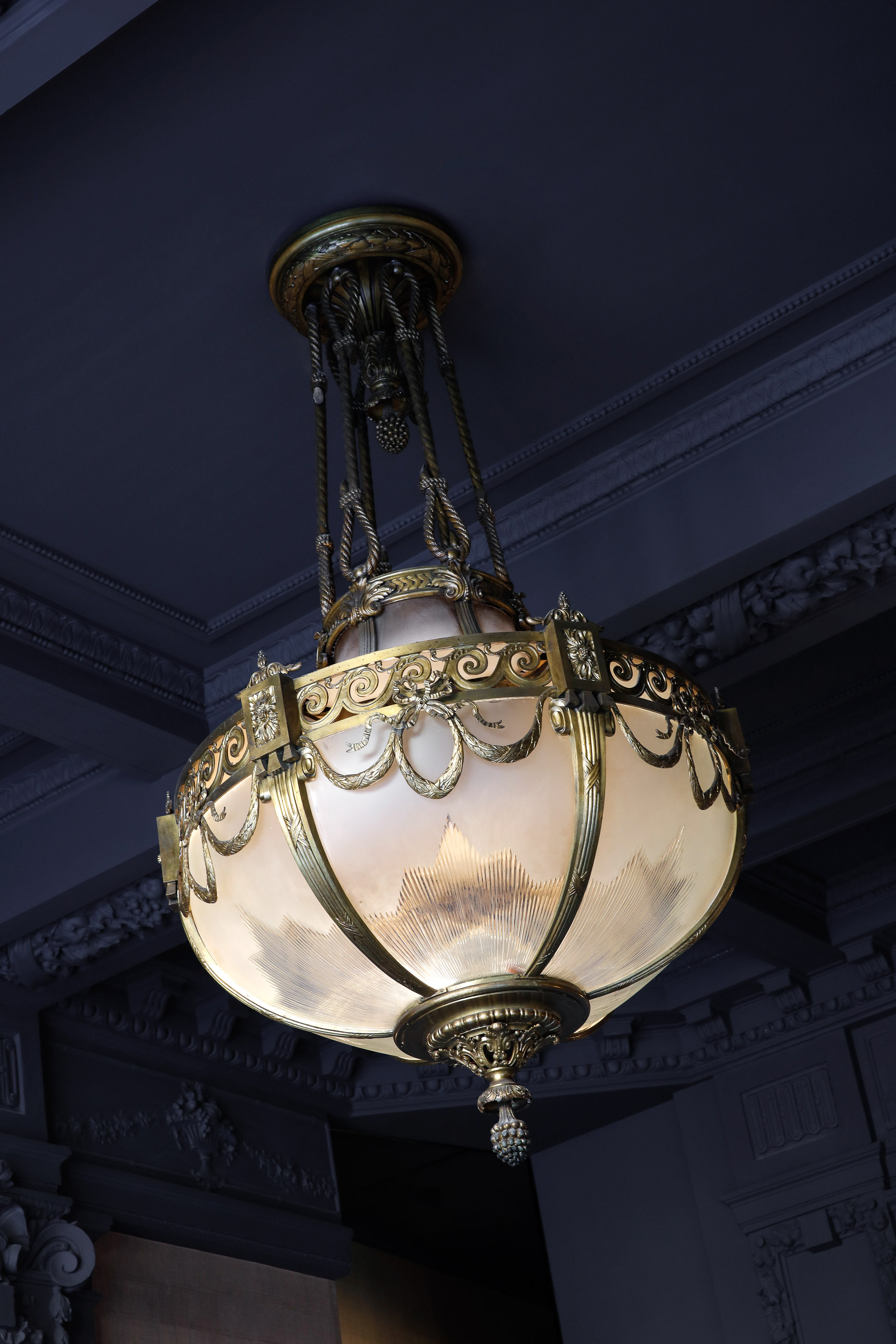
Hôtel 4 étoiles implanté au cœur de Reims, le Continental Hôtel, vous accueille dans une atmosphère unique de haut standing. La bâtisse, un hôtel particulier du 19ème siècle, transformé en hôtel en 1880, a gardé tout le caractère des vieilles pierres et offre aujourd’hui le charme, le confort et l’authenticité des maisons de luxe. Comme dans une maison de famille, l’accueil de chaque hôte est personnalisé. À notre Hôtel Restaurant, l’art de recevoir les hôtes prend son sens par de petites attentions ou de grands services et une bienveillance quotidienne.
Chambres et Suites 4 étoiles
Place Drouet d'Erlon, Reims
À travers ses quatre catégories de chambres et de suites 4 étoiles, le Continental Hôtel se prête à des séjours touristiques ou d’affaires, en couple ou en famille à Reims. Rénovées en 2018, les 51 chambres sont uniques et modernes et mises sur une grande qualité de confort.
Une salle de sport avec un tapis de course, un vélo et du matériel de fitness est à la disposition des résidents.

Saveurs et gourmandises
Le Continental Restaurant à Reims avec sa vue panoramique sur le square Colbert et les promenades de Reims est ouvert de 7h à minuit. Il sert du petit déjeuner au dîner puis se transforme en espace bar.
Venez découvrir la carte, délicieux mélange d’authenticité et de modernité. Les plats évoluent avec les saisons afin de toujours vous proposer des produits frais, dans un esprit créatif pour en extraire la quintessence des saveurs.

Espace détente
Le Continental est en cours de rénovation pour un nouvel espace détente à venir courant avril.

Nos services
- Hôtel 4 étoiles de 51 chambres, dont 3 chambres UFR
- Situation au centre de Reims
- Parking public et payant avec tarif préférentiel pour les résidents de l’hôtel
- Wifi gratuit dans l’hôtel
- Room Service
- Salle de fitness
- Bar et restaurant panoramique à la carte
- Accueil multilingue
- Service bagagerie
- Accès aux personnes à mobilité réduite (PMR) et usagers en fauteil roulant (UFR)
- Matériel de puériculture gratuit sur demande (lit bébé, table à langer, chaise haute)
- Animaux de compagnie acceptés

Hôtel Restaurant au centre-ville de Reims
L'Hôtel Restaurant Continental vous plonge dans le haut standing au Centre de Reims. À travers ses différentes catégories de chambres ou de suites, vos séjours s’adaptent à toutes vos envies. Uniques, modernes et douillettes, les chambres misent sur une grande qualité de confort.
Laissez-vous séduire par le charme de ces espaces et l’accueil personnalisé réservé à chaque hôte. Votre
séjour touristique à Reims se passe ici !
Offres spéciales
Profitez d'un séjour en pays Rémois et découvrez les offres spéciales du Continental hôtel !

Séjour d’une nuit pour deux personnes avec accueil personnalisé, petit-déjeuner et dîner.
Cette offre comprend :
- Une chambre double pour une nuit
- Une 1/2 bouteille de Champagne Brut Propriétaire
- 2 petit-dejeuner
- 2 Menus Continental dans notre Restaurant (hors boisson)